Every survey begins at a fixed baseline.
Chartered land surveyors and geomaticians in Sale, Manchester — measuring sites, buildings and boundaries, then drawing what we find.
- STN 01 Topographic
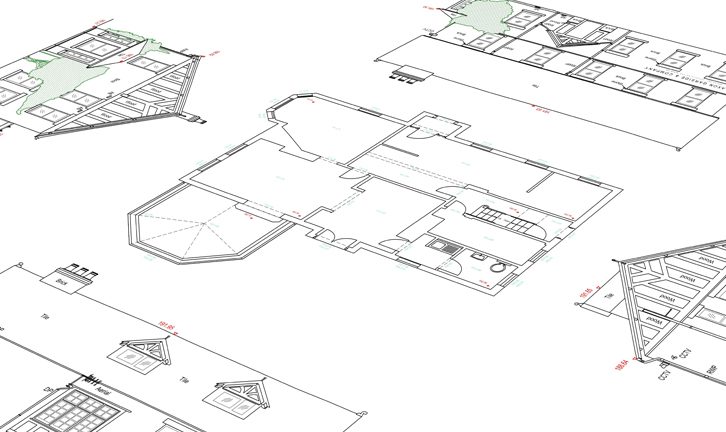
- STN 02 Measured Building
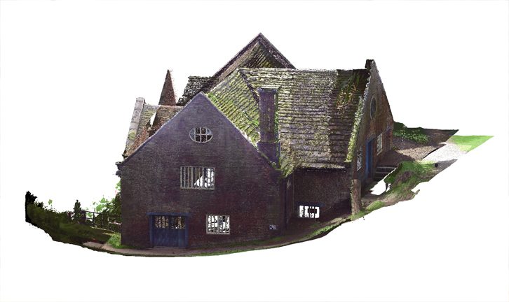
- STN 03 3D Scan
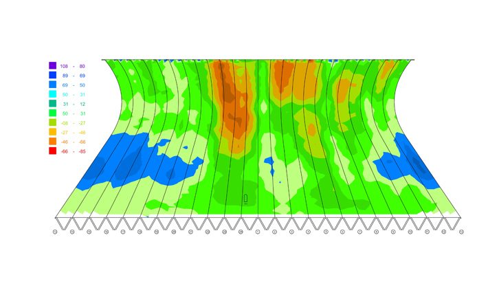
- STN 04 Monitoring
- STN 05 Boundary
Spatial data,
collected and drawn.
N D Oliver & Co Ltd are chartered land surveyors working in the collection, organisation, presentation and delivery of spatial data. The practice is based in Sale, Manchester, and works throughout the UK.
Work is backed by professional indemnity insurance and carried out under the rules and regulations of the Royal Institution of Chartered Surveyors.
- Discipline
- Land surveying & geomatics
- Base
- Jupiter House, Sale
- Coverage
- Throughout the UK
- Delivered as
- Drawings, models, point clouds
- Accreditation
- RICS · PI insured
Ten services,
one schedule.
Every line links to the page that explains it. What arrives is drawings, models and point clouds — to a stated datum and scale.
- 01 3D Laser Scanning Point clouds and registered scans — a measurable record of the building exactly as it stands. Terrestrial laser scanner
- 02 Topographic Levels, features and contours across a site, drawn to an agreed datum. Total station · GNSS
- 03 Measured Building Floor plans, elevations and sections of an existing building at a stated scale. Total station · laser scanner
- 04 Monitoring / Deformation Repeat measurement against a first reading or a design shape, so movement can be read. Digital level · total station
- 05 Area Referencing NIA and GIA areas computed from a measured survey and coloured on plan. Measured survey · CAD
- 06 Lease Plans Landlord and tenant plans showing the extent of a demise for lease and title. Measured survey · CAD
- 07 Boundary Surveys Physical boundaries picked up, measured and drawn on plan. Total station · GNSS
- 08 CAD Survey data drafted into layering you can issue, edit and build from. Survey CAD
- 09 BIM Existing-condition geometry delivered as a model, not only as a drawing. BIM authoring
- 10 Site Services Setting out, site control and survey support for the build while it is running. Total station · GNSS
On display at the Sale office
The Surveying Museum
Decades of instruments, kept rather than scrapped: theodolites, levels, total stations, laser scanners, baselines and targets, EDMs, Distos, levelling staffs and survey software. Part of the collection is on display at the Sale office.
Surveying MuseumCollection · partial list of makers
- Kern
- AGA Geodimeter
- Cooke, Troughton & Simms
- Wild
- Brunsviga
- Hilger Watts
- Tavistock
- Stanley
- Leica Geosystems
- Trimble
- Faro Technologies
- Cyra
- Topcon
- ER Watts & Son
- Intrasoft
- Bentley
- Autodesk
- Hewlett Packard
- Becker
- Thornton Heath England
Under the rules
of the RICS.
The practice operates under the rules and regulations of the Royal Institution of Chartered Surveyors, and carries professional indemnity insurance. Health and safety, environmental policy and the rest are published in full.
 Royal Institution
of Chartered Surveyors
From the notebook.
Recent entries from the practice — a boundary case, a deformation survey, and a new level for the kit.
-
Boundary dispute
A survey used to help resolve a case, after which the court instructed the practice to mark out the boundary on the ground.
Read on News/Projects -
Cooling tower deformation survey
The current shape surveyed and compared against the design shape and against the previous survey, with high-definition photography of individual features.
Read on News/Projects -
Leica Sprinter 250M
A precise digital level added for monitoring and levelling work, logging on board and exporting reduced levels straight to a spreadsheet.
Read on News/Projects